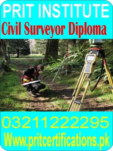
Civil Surveyor Diploma course in islamabad
- Your Name: waseem
- Contact Number: 03211222295
- Address: isb
- Select Your City: Attock
- Listed:
- Expires: This ad has expired
Description
Make exact measurements and determine property boundaries. Provide data relevant to the shape, contour, gravitation, location, elevation, or dimension of land or land features on or near the earth’s surface for engineering, mapmaking, mining, land evaluation, construction, and other purposes.
A multinational company is looking to hire a Quality Assurance, Quality Control (QA/QC) Engineer for their Operation in Dubai.Candidate should have a minimum of three year experience in similar role.
The QA/QC Engineer is responsible for following up with the implementation and maintenance of the company’s Quality System in line with good quality management principles. The Quality Assurance, Quality Control Engineer is responsible for the implementation and development of procedures to conform with the regulations of Airworthiness authorities of GCAA, EASA and FAA
This article is about measuring positions on Earth. For other uses, see Survey (disambiguation) and Surveyor (disambiguation).
Surveying or land surveying is the technique, profession, art and science of determining the terrestrial or three-dimensional positions of points and the distances and angles between them. A land surveying professional is called a land surveyor. These points are usually on the surface of the Earth, and they are often used to establish maps and boundaries for ownership, locations, such as building corners or the surface location of subsurface features, or other purposes required by government or civil law, such as property sales.
Surveyors work with elements of geometry, trigonometry, regression analysis, physics, engineering, metrology, programming languages, and the law. They use equipment, such as total stations, robotic total stations, theodolites, GNSS receivers, retroreflectors, 3D scanners, radios, clinometer, handheld tablets, digital levels, subsurface locators, drones, GIS, and surveying software.
Surveying has been an element in the development of the human environment since the beginning of recorded history. The planning and execution of most forms of construction require it. It is also used in transport, communications, mapping, and the definition of legal boundaries for land ownership. It is an important tool for research in many other scientific disciplines.


